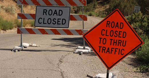
For the last two weeks firefighters have been battling the Spring Creek fire, just east of Battlement Mesa. As of this writing it is about 55% contained thanks to the 550 fire personnel on the ground and in the air. Because there are aerial firefighters working the FAA has issued a temporary flight restriction (TFR) over much of the Grand Valley.
NOTAM : 3/0215 FDC 3/0215 ZDV CO..AIRSPACE 5NM SW OF PARACHUTE, COLORADO..TEMPORARY FLIGHT RESTRICTIONS WI AN AREA DEFINED AS 392732N1081059W (RIL249021.9) TO 392755N1075551W (RIL239010.5) TO 391848N1075540W (RIL207016.1) TO 391831N1081120W (RIL229025.5) TO POINT OF ORIGIN. SFC-12000FT. TO PROVIDE A SAFE ENVIRONMENT FOR FIRE FIGHTING AERIAL OPS. PURSUANT TO 14 CFR SECTION 91.137(A)(2) TEMPORARY FLIGHT RESTRICTIONS ARE IN EFFECT. GRAND JUNCTION FIRE CENTER TEL 970-257-4800 OR FREQ 125.1/THE SPRING CREEK FIRE IS IN CHARGE OF THE OPERATION. DENVER /ZDV/ ARTCC TEL 303-651-4248 IS THE FAA CDN FACILITY. 2306302330-2307300001Until the TFR is lifted I cannot fly any of my drones in town without authorization. And because I have no role in fighting the fire, I’m not gonna get authorization. This has put another delay in my project but that’s OK I’ve got plenty of other work to do that’s probably more important right now, like figuring out how to turn a great idea into a fantastic company. More to come about that over the next few weeks…
The picture pretty much says it all. From just east of DeBeque to Morisanna Mesa, the only thing allowed to fly without permission are birds and firefighters. This includes recreational fliers too, so consider yourself warned. Most people would look at where the firefighting is happening and think “Oh, they’re miles away, so what’s the big deal?” But the crews assume they basically have carte blance to fly anywhere in the red zone, and there are multiple aircraft in the area, changing conditions and very low flight levels. The flight pattern for the spotters tends to be a clockwise loop, which takes aircraft directly over town.
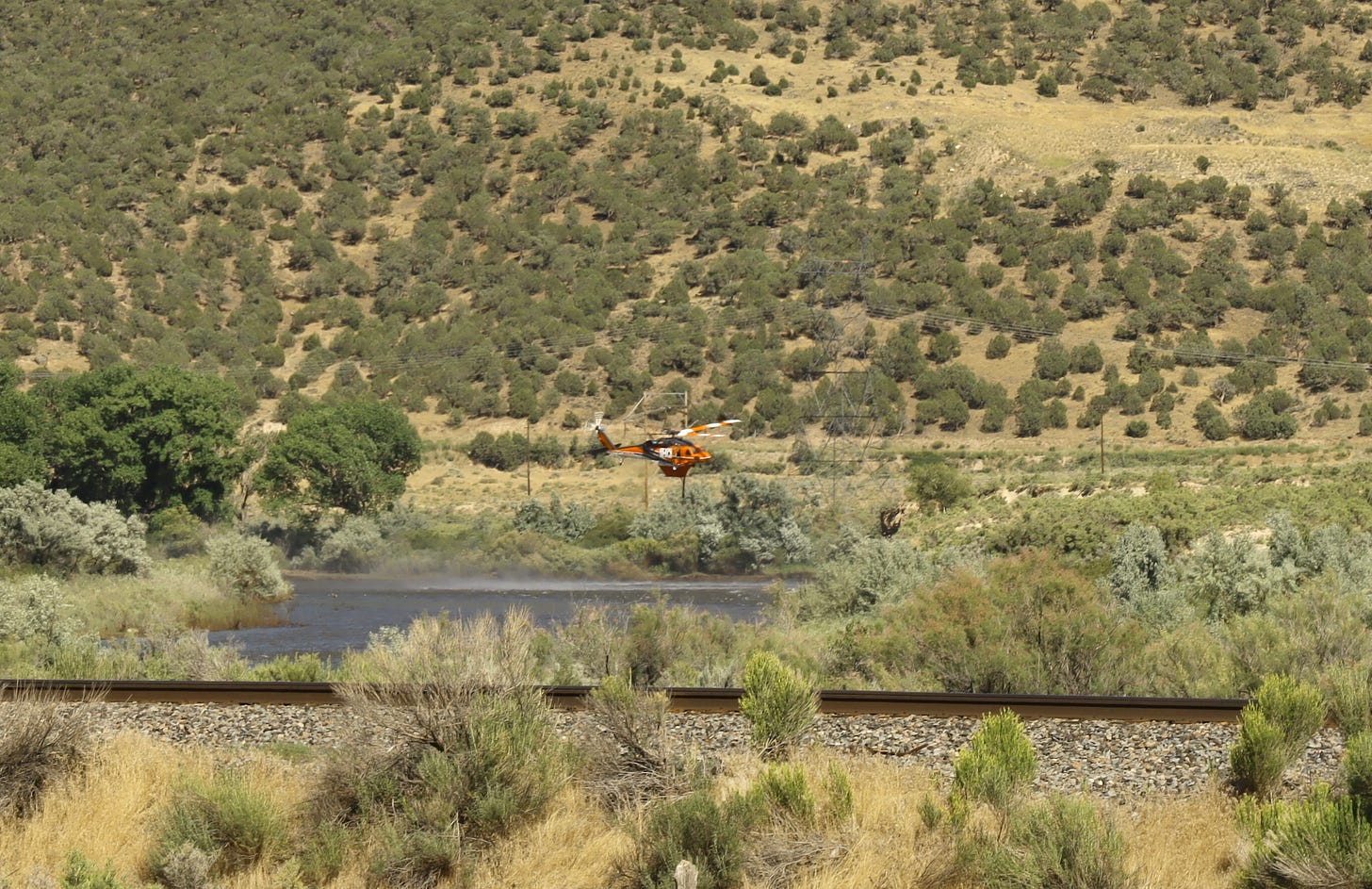
The tanker hellicopters are refilling directly out of the Colorado just west of Parachute. They’re taking a very low approach along power lines and other hazards.
In other words, it’s dangerous enough without some hot dog wanting to get a cool picure of the fire. So keep your drone in the case. (End PSA).
So Who is Flying?
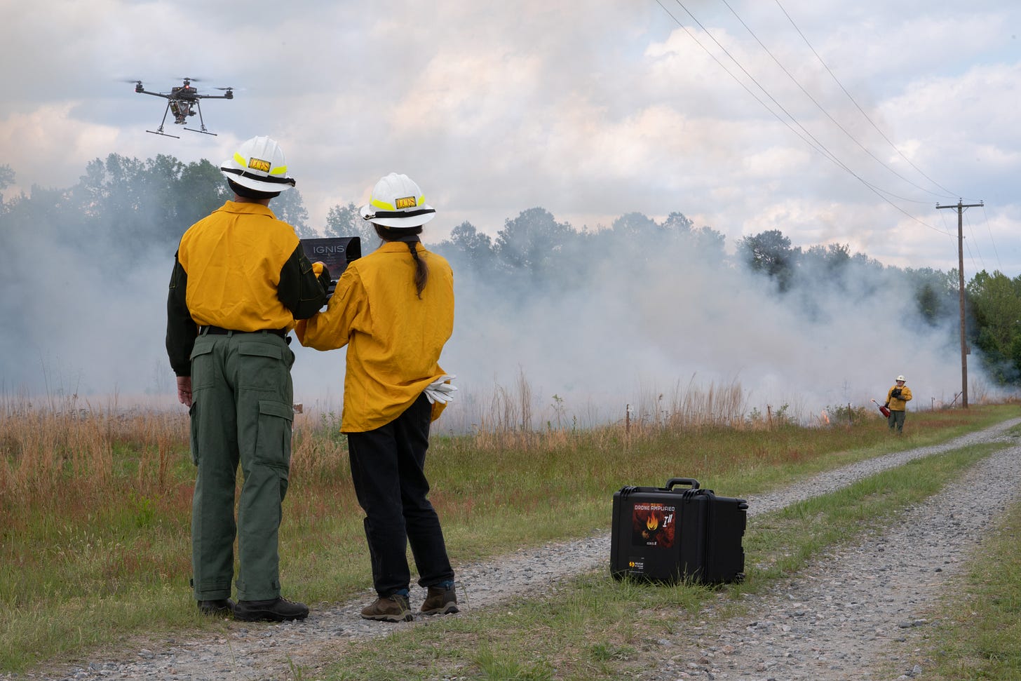
That’s not to say there are no drones in the air. Drones are being used by fire crews for reconnaissance, detecting hot spots and aerial ignition. The first task is pretty obvious, fly over the fire to get a handle on the situation, and relay that video back to the incident commanders and crew. The second, looking for hotspots, uses an infrared camera to see spots where the crew may have moved on but there’s still a chance for re-ignition. But that third one? How do you use a drone to start a back fire? Mount a flame thower? Crash it and hope the lithium battery catches fire?
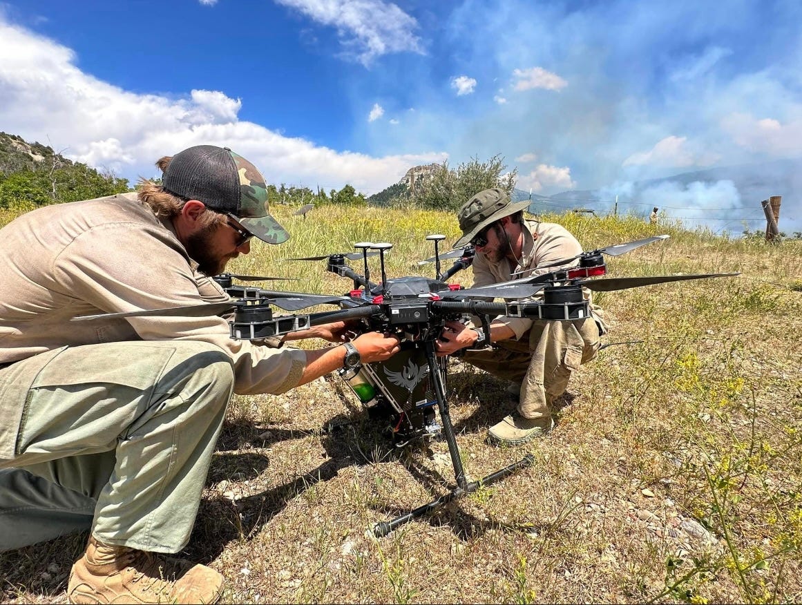
Enter the IGNIS ignition payload, made by Drone Amplified. It starts controlled burns by dropping ping pong ball-like spheres filled with a chemical that, when combined with glycol (antifreeze) will spontaneously ignite. This ball, called a “dragon egg” can be precisely dropped automatically to create perfect fire lines, without putting crews at risk. The IGNIS sits under an incredible drone from a company called Freefly Systems, the Ulta X. You probably never heard of Freefly or the Alta X, but you’ve seen film and television footage that was shot from a camera mounted on an Alta X.
Using a drone to start back burns has a lot of advantages. In addition to not having to put crews at risk, drones can be pre-programmed to cover a very specific area, precisely (usually within a few centimeters) dropping eggs where they will do the most good. And of course drones can fly over terrain that would be difficult or impossible to reach on foot. A two person crew can cover an area several square miles in size, and only have to stop to swap batteries and reload the hopper.
This is a great time to be in the drone industry. Many of the uses for them are ideas that really haven’t been done before, at least not at scale or commercialized. And as fighting wildfires shows, it isn’t a case of drones replacing crewed flight, but both crewed and uncrewed vehicles doing what they’re both optimized to do. As my own little project shows it isn’t a question of either/or but both/and. Pick the right tool for the job… and if that tool doesn’t exist, make it.


